Trails and Conservation Areas
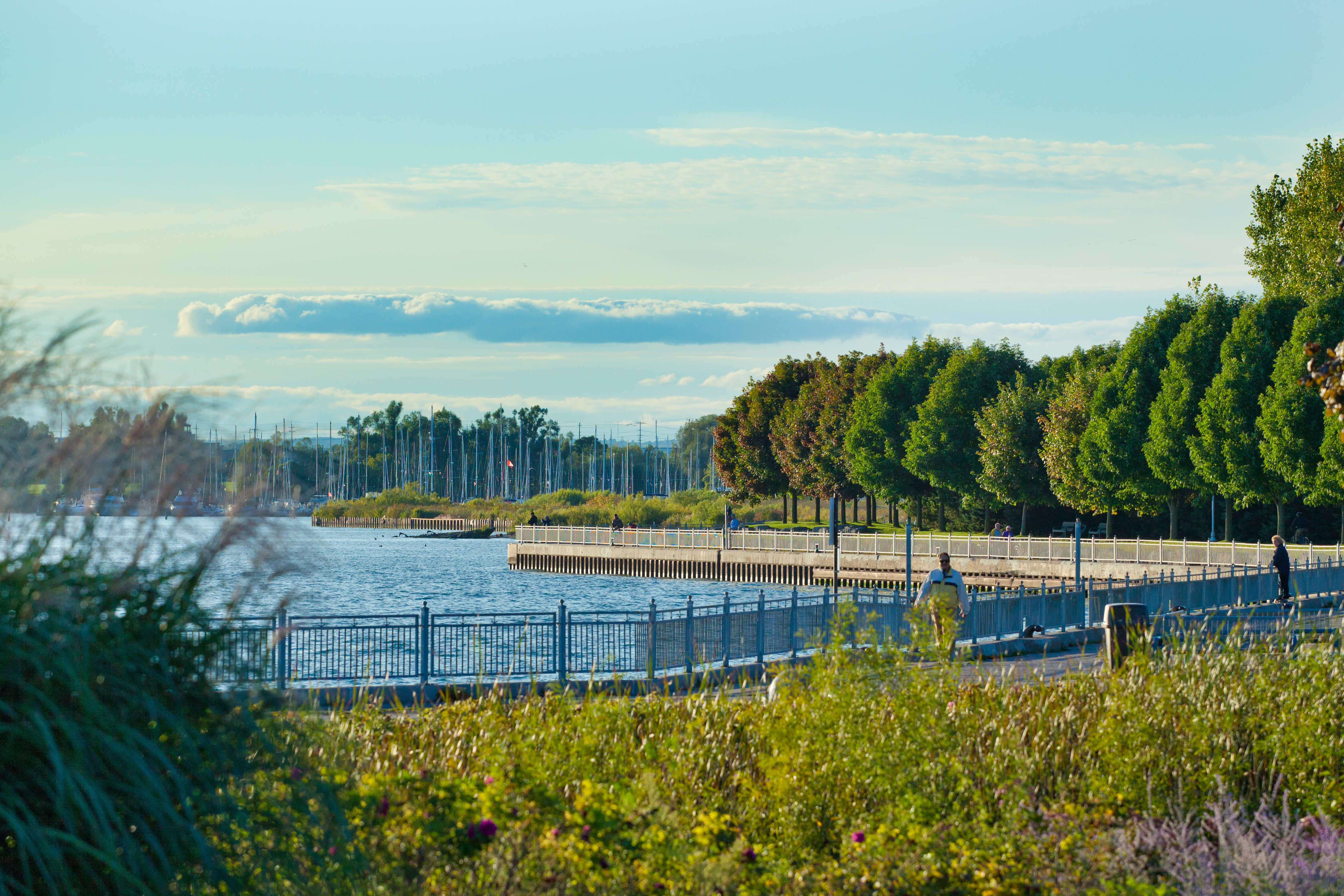
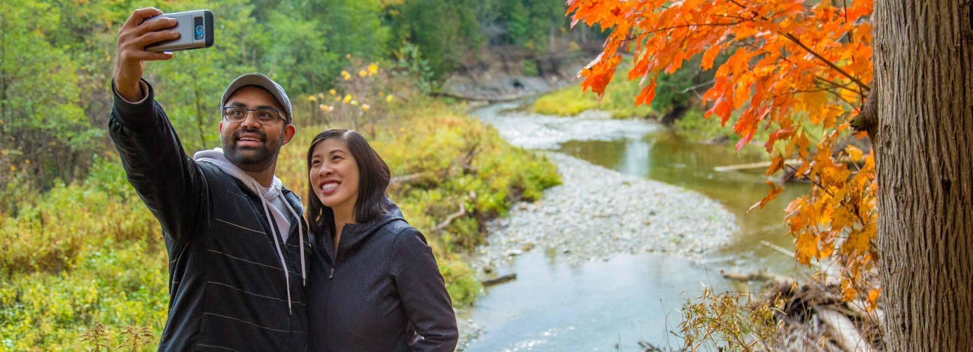
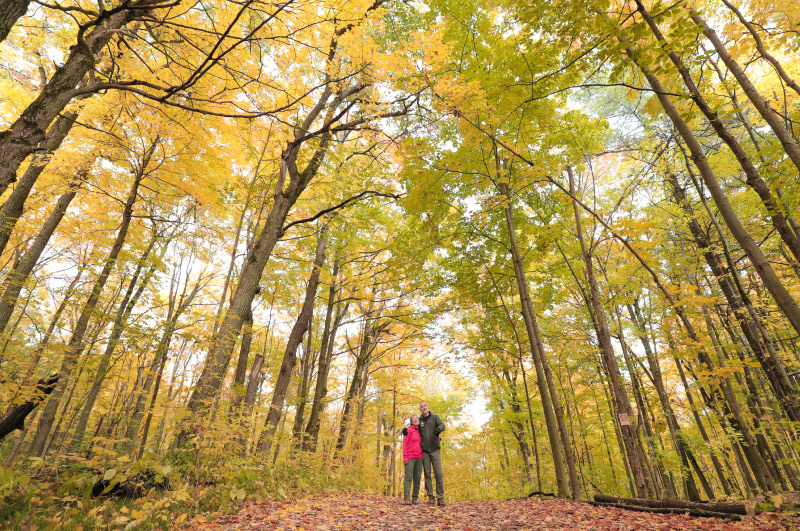
Offering ample green space and access to nature, Durham Region is home to more than 350 kilometres of recreational trails.
Options for hiking and other outdoor activities include Darlington Provincial Park, Durham Regional Forest, Rouge National Urban Park, and many conservation areas across the region.
From the Great Lakes Waterfront Trail to the rolling hills of the Oak Ridges Moraine, Durham’s trails offer beautiful landscapes and fabulous four-season recreational opportunities.
Conservation Areas and Hiking Areas
| Conservation Areas |
Town of Ajax
Township of Brock
Municipality of Clarington
City of Oshawa
City of Pickering
Township of Scugog
Township of Uxbridge
Town of Whitby
|
| Conservation Authorities |
Municipal resources
| Municipal Park and Trail Information |
|
Visit the following websites for municipal parks and trails information: |
| Other Trail Resources |
|
For more trails maps, amenities, recreational use suggestions, itineraries and more, visit the following websites: |
| Find a local park or playground |
|
Visit the following websites for complete lists of municipal parks and open spaces in which to relax or stay active which may include splash pads, skateparks, and other outdoor fun: |

Contact Us


